RISUM Project: Updates of last days
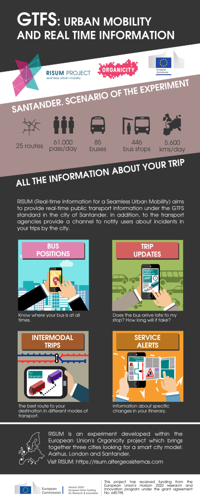
 These are our progress in recent days. First the technical side:
- A key aspect in our experiment is to have a detailed information about the street network of the city of Santander. We are using data from the open database OpenStreetMap and we are also improving the data provided by the community. We have programmed a script that helps us correct geodata topology errors.
- On the other hand, we have collected some features about bus stops. We think it can be interesting to add them to the stop descriptor. The great thing about this file is that it allows you to indicate to user when a stop has a ticket machine, bike storage, lighting, pavement features, etc. At the moment we have focused on indicating if the bus stop has shelter or a bench. This information is valuable, for example, for people with reduced mobility.
- Finally, we’ve got a unique ID that identifies each trips. The Trip represents a journey taken by a vehicle through stops.
On the non-technical side, we had a meeting with the Municipal Urban Transport Service of Santander to communicate the development of the experiment and obtain feedback that improves RISUM.
After correcting some problems, we will focus on the integration of data in the Organicity platform.

GIS Project Manager con más de 15 años de experiencia en el campo de los Sistemas de Información Geográfica (GIS) participando en proyectos aplicados al transporte y movilidad, los servicios urbanos, el medio ambiente y el patrimonio.


